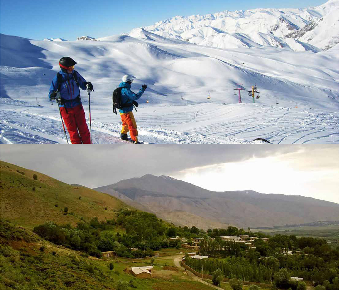
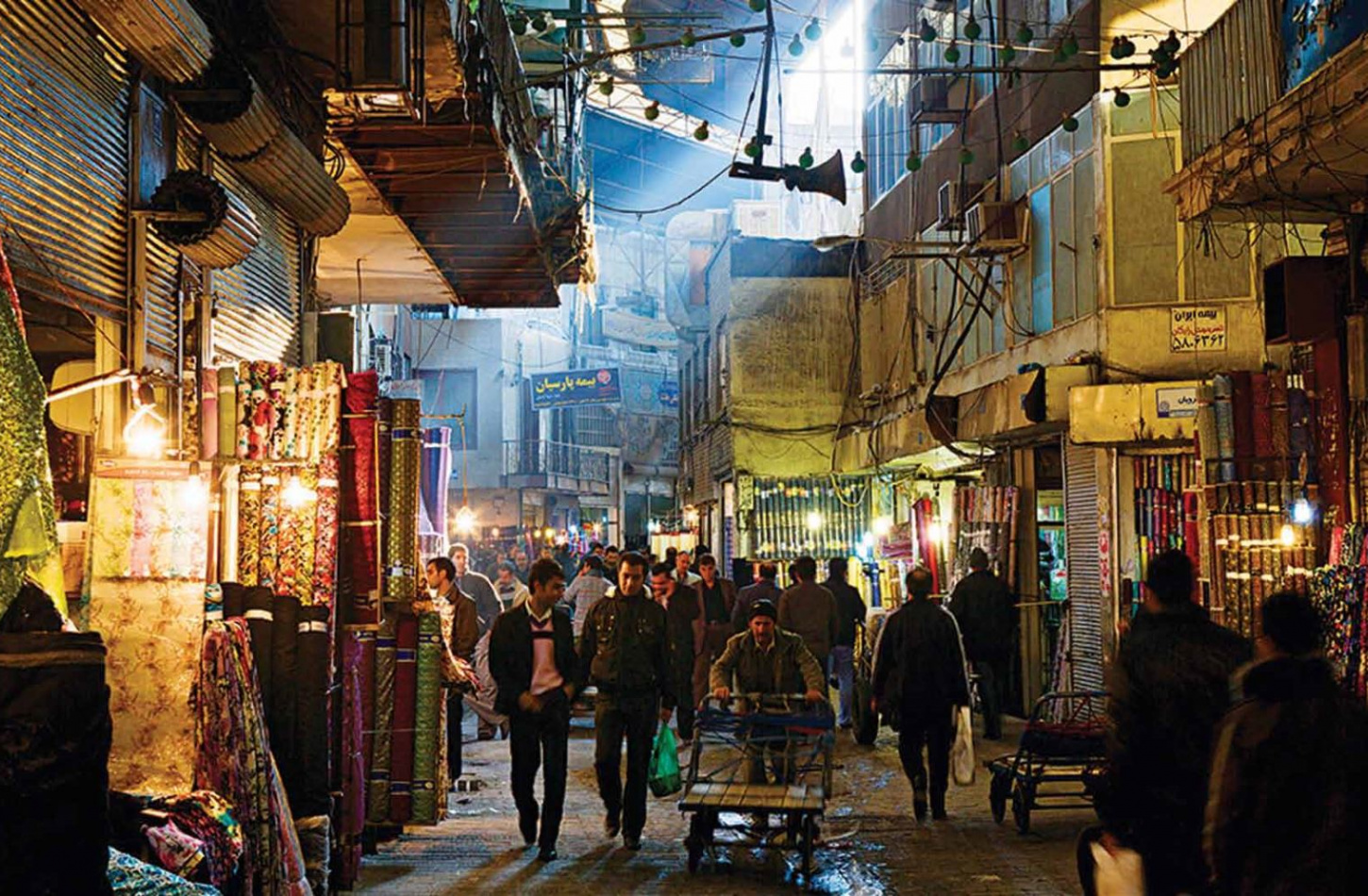
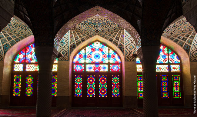
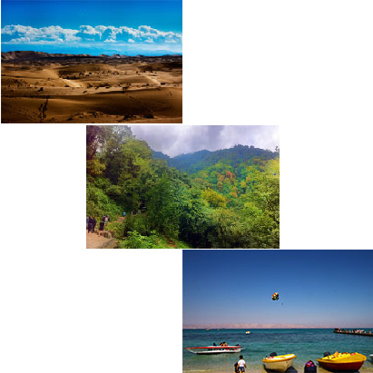
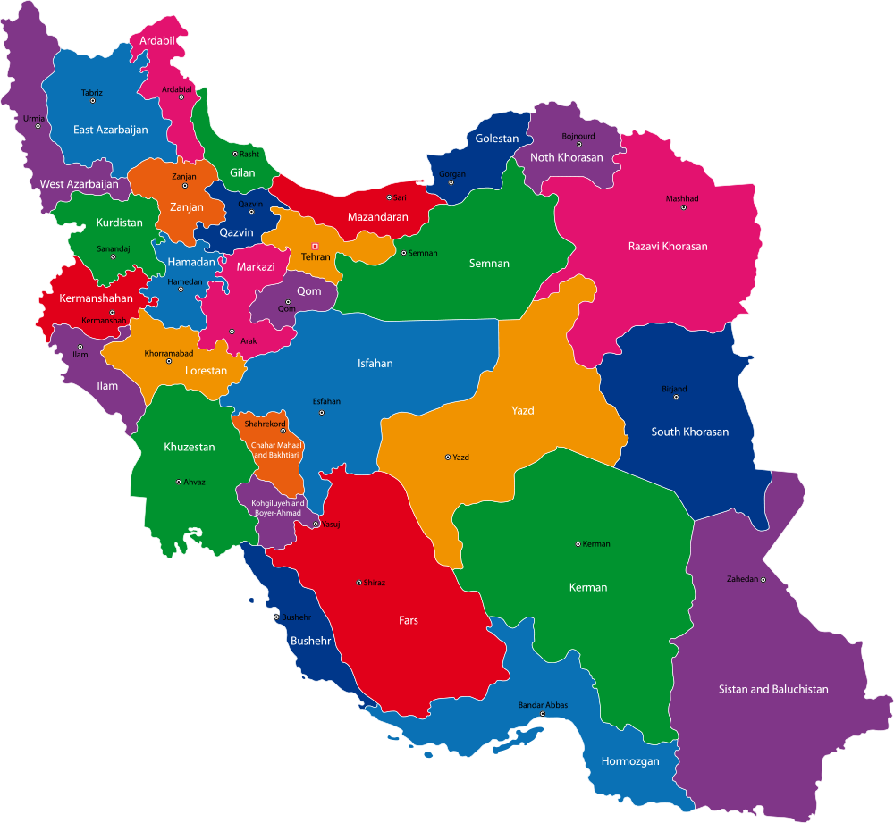
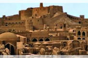
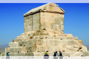
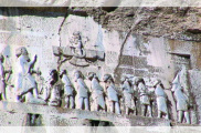
The plateau of Iran is a high land surrounded by the Caspian Sea on the north and the Persian Gulfand the Gulf of Omanin the south. Ranges of mountains alongside the Caspian Sea, called Alborz, separate the plains of Gilan, Mazandaran, and Gorgan from the southern lands, and extend from the northwest to the northeast. Another range of mountains, which extends diagonally from the northwest to the southeast and is called Zagros and has given the plateau an ecological variety. The Alborz and Zagros Mountains and their snowcapped summits, the deserts and the low northern and southern plains have given the plateau unique geographical, natural, and life varieties. Archaeological excavations, written documents and inscriptions, and other historical sources prove man’s settlement in the plateau of Iran in the Palaeolithic Era. At the beginning of the second millennium B.C., the nomadic tribes settling in the northern and eastern plains of the Caspian Sea moved down to the more fertile lands of the plateau. Some of these migrating tribes left the mountainous passages behind to settle in the green valleys of the plateau, but other groups moved further to India and Europe. The tribes who reached Iran mixed with the native people, who earned their livings mainly by cultivating the land, and created a great civilization, which came to rule over the world for centuries. Since the time, the first central government came to power toward the end of the second millennium B.C., and due to the fact that monarchs came from different parts, cities like Takhte-Soleiman, Susa, Hegmataneh, Ray, Neishaboor, Isfahan, Shiraz, Tabriz and Tehran were chosen as the capitals of the country.

